Itinerary may change depending on the weather and at the discretion of the guide. We ask you to always trust the guide – they want to ensure you have the best experience.
Day 1 Arrive in Egilsstaðir
You begin with a welcome and evening meal together before a good sleep before the trek begins on Monday.
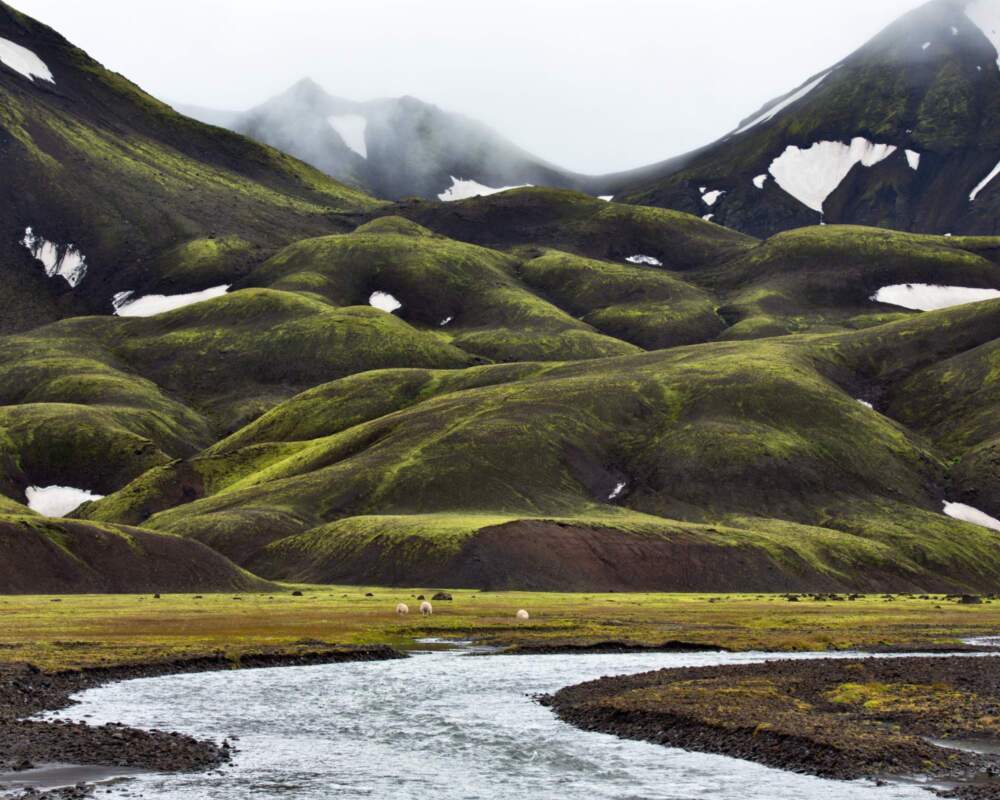
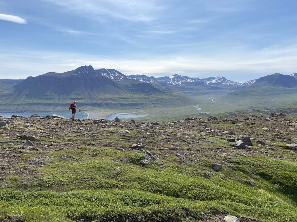
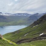
From Egilsstaðir, we head straight into the East Iceland highlands to hike to Stórurð, one of the region’s most striking natural areas. The trail leads through dramatic mountain scenery to a surreal landscape of giant tuff boulders, clear alpine lakes, and wide green meadows. We pause along the route to enjoy a packed lunch, taking in panoramic views of the surrounding mountains and valleys.
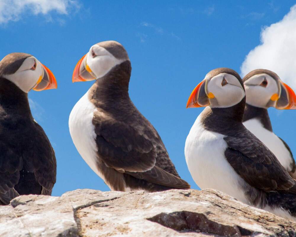
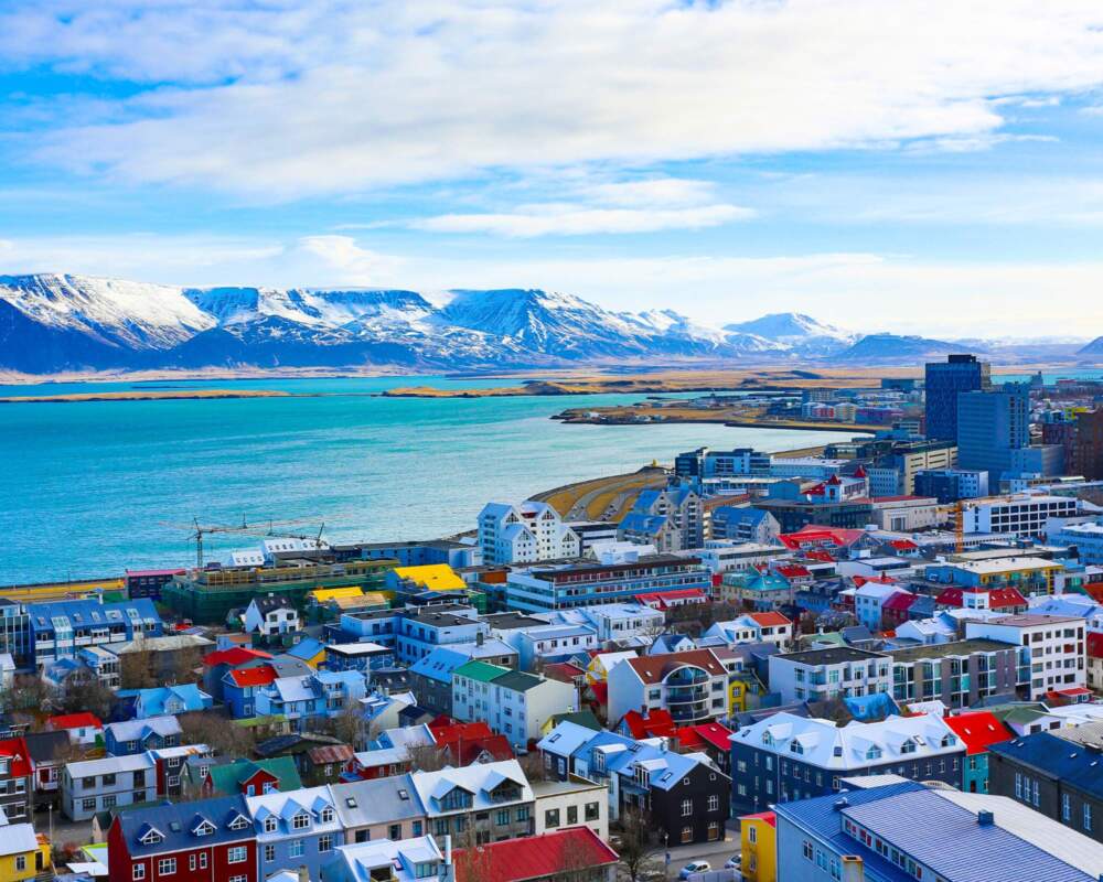
After completing the hike, we continue toward Borgarfjörður Eystri, a small and colorful fjord village known for its rich hiking culture and vibrant birdlife. With fewer than 100 residents, the village offers a peaceful setting and one of Iceland’s best locations for puffin watching during summer months.
We settle into our hotel accommodation for the night and enjoy a warm dinner.
Distance: 18 km (11.1 miles)
Ascent / Descent: 600 m (1,970 ft) / 800 m (2,625 ft)
Hiking time: 6–8 hours
Day 3 Bakkagerði – Breiðuvík
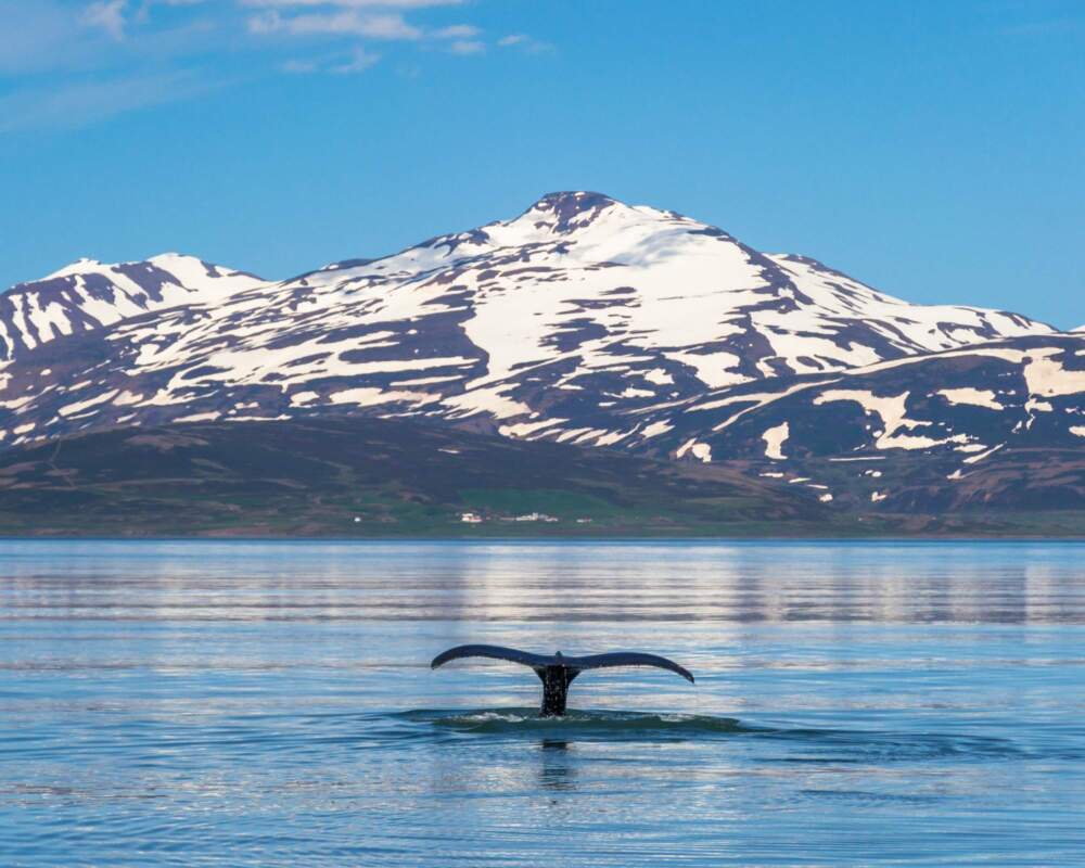
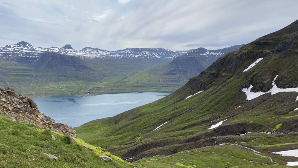
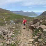
After breakfast and a warm cuppa, we set out on our first full day of hiking along the Víknaslóðir trails. The route begins near Bakkagerði in Borgarfjörður Eystri and follows the coastline toward Brúnavík, offering wide views over the North Atlantic and the rugged Eastfjords landscape.
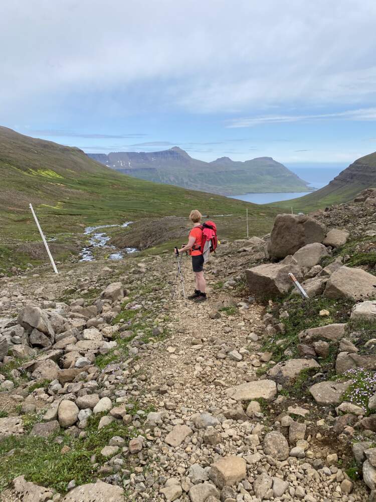
From Brúnavík, we continue toward the remote cove of Breiðuvík, where we stop for a packed lunch near an old farmstead in Kjólsvík. The trail then leads onward to Glettinganes, where the terrain becomes rockier and requires careful footing.
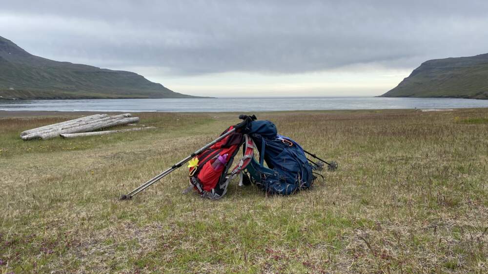
We finish the day at a cozy cabin near the beaches of Breiðuvík. After settling in, we prepare a simple local dinner together with your Viking Women guide. In the evening, there is time for a relaxed walk along the beach and to enjoy the calm of this remote coastal setting.
Distance: 14 km (8.7 miles)
Ascent/Descent: 400 m (1,315 ft) / 400 m (1,315 ft)
Hiking time: 7–9 hours
Day 4 Breiðuvík – Húsavík
Today we begin the day by heading west from the cove, crossing the Stóruá river via a sturdy footbridge. As the trail turns south, a wide and striking valley opens up, framed by the surrounding mountains of Hvítuhnjúkur, Hvítafjall, and Hvítserk. The deep blue tones of the landscape make this a perfect spot for a relaxed lunch break and photos.
Continuing onward, we pass the lakes Gæsavatn and Urðarhólavatn before gradually climbing toward the road that leads to Húsavík. Here we reach our accommodation for the night—a cozy mountain hut located on the site of a former farm, abandoned since the 1950s.
After settling in, the evening is spent relaxing and preparing dinner together as a group, surrounded by the quiet of this remote corner of East Iceland.
Distance: 14 km (8.7 miles)
Ascent/Descent: 550 m (1,800 ft) / 500 m (1,640 ft)
Hiking time: 5–7 hours
Day 5: Húsavík – Loðmundarfjörður
After breakfast, we have some relaxed time to explore Húsavík, the largest cove along the Víknaslóðir trails. By mid-morning, we set off along an easy road toward Loðmundarfjörður, with wide-open views and dramatic scenery unfolding as we go.
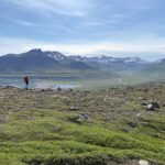
Crossing the Nesháls ridge, we are rewarded with sweeping views over Loðmundarfjörður and, on clear days, all the way to Dalatanga. We pause along the way to take in the landscape and enjoy a well-earned break.
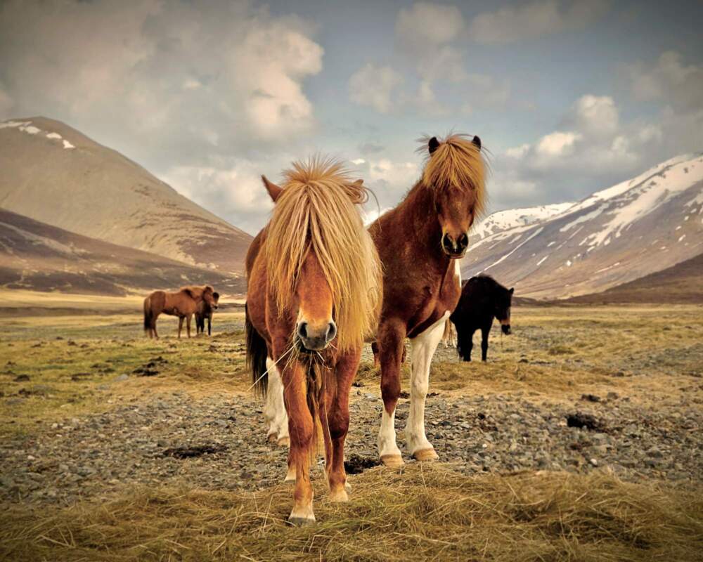
Once in Loðmundarfjörður, we spend time exploring this remote fjord, once home to one of Iceland’s most isolated communities. Wildlife sightings are possible here, including eider ducks, seals, reindeer, and grazing sheep or horses across the moorland.
We finish the day at a cozy mountain hut, where there is time to relax, enjoy a warm meal together, and settle in for a quiet night in this peaceful corner of East Iceland.
Distance: 15 km (9.3 miles)
Ascent/Descent: 600 m (1,970 ft) / 600 m (1,970 ft)
Hiking time: 6–8 hours
Day 6 Loðmundarfjörður – Seyðisfjörður
We begin the final day with breakfast, enjoying the views before setting out. The trail climbs steadily toward Hjálmárdalsheiði, reaching an altitude of around 600 meters, and follows an old historic route once used to travel between fjords. The terrain here is relatively gentle and offers a peaceful final stretch of hiking.
Along the way, we stop for lunch and a short rest before continuing toward the edge of Seyðisfjörður fjord. The route then leads through Kækjuskárð, followed by a steeper descent into the colorful town of Seyðisfjörður, marking the end of our Víknaslóðir journey.
In Seyðisfjörður, there is time to explore the town, enjoy a well-earned drink or snack, and soak in the atmosphere before transferring back to Egilsstaðir Airport. We recommend booking the last evening flight back to Reykjavík at around 19:30, or extending your stay in the area if you prefer. We can advise
Distance: 15 km (9.3 miles)
Ascent/Descent: 600 m (1,970 ft) / 600 m (1,970 ft)
Hiking time: 6–8 hours